Winter is done.
Well, maybe not.
According to Environment Canada meteorologist Geoff Coulson, this region's recent reunion with mild weather is likely to be short lived relief to a winter that just won't go away.
“At this point it unfortunately looks like it won’t be a long stretch of mild days so losing that snowpack is not really in the forecast,” Coulson said from his Toronto office.
“The overall trend for the end of March and first part of April is for colder than normal temperatures to be in the area. At this point there are no real concerns of a rapid warm up but this is a situation we’ll be watching closely.”
The weather service is forecasting temperatures to return to below freezing during the overnight hours, with a high of - 3C projected for Tuesday.
But -3C, compared to the recent lows that were sometimes colder than -30C little longer than a week ago, may as well be shorts and T-shirt weather. Even if that is the case, long pants and winter coats will likely be needed on Wednesday, when an overnight low of -22C is projected.
“(The winter) has been going on too long and it’s been too cold. It’s been years and years since we’ve had a winter like this,” said Ann Perales. “In spring you can get out and winter I find I can’t get out to do anything ... I’d like to see all of this (snow) gone quickly.”
The accumulation of snow last month was the most recorded in February since 1979, with an average of 42.2 centimetres across the city. The mean temperature of - 17.1C was also the coldest since 1996.
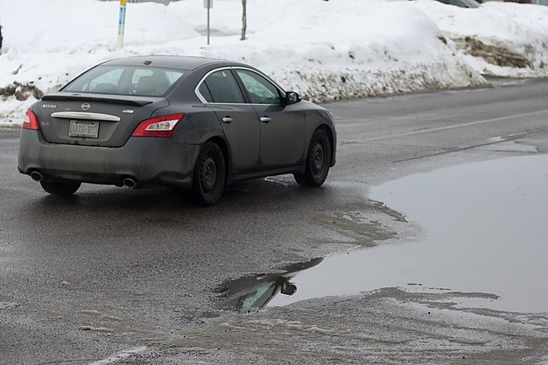
However, it might not be a good thing for all the snow to disappear all at once.
Coulson said it would be a good thing for the local watershed for a slower start to spring.
“In terms of the amount of snow we have in some areas, a more gradual intervene into spring would be more favourable,” Coulson said. “If we do get a sudden warm up and maybe add some rain to that we could see some flooding issues.”
Temperatures are projected to increase to above freezing on Thursday and Friday followed by a drop on the weekend.
Sign in or register
- Messages
- Post a Listing
- Your Listings
- Your Profile
- Your Subscriptions
- Your Likes
- Your Business
- Support Local News
- Payment History
Registered Users
Already have an account?
New Users
Create a free account.
