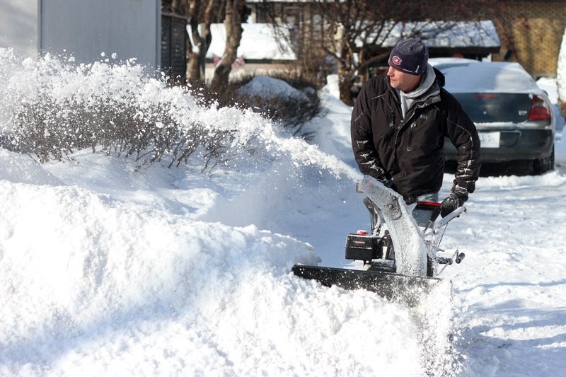
Don’t put your snow shovels away just yet.
Environment Canada has issued a winter storm watch for this area for Thursday and Friday.
"Winter is definitely not over," said Marie-Eve Giguere, a warning preparedness meteorologist with Environment Canada.
An Alberta clipper and a Texas low are expected to merge over Lake Superior causing up to 25 centimetres of snow to fall in Northwestern Ontario by Friday.
The storm may track northeast across the Great Lakes into Hudson Bay with the possibility of ice pellets and freezing rain for Northeastern Ontario.
The action will start Wednesday evening with a few light flurries and the first low is expected to arrive Thursday.
"That's the weaker storm, so just a bit of snow on Thursday, maybe five to 10 centimetres," said Giguere.
The storms are expected to merge overnight Thursday and that's when the heavier snow will start.
"It's going to last all day Friday. We're expecting with those three days of weather to see maybe up to 25 centimetres of snow at this point. In behind that, we're expecting lots of wind, blowing snow on Friday," said Giguere.
And while the storm may be over by Friday's end, the bad news continues with cold temperatures expected to settle back into the region.
"When we get those strong systems, they tend to drag a lot of cold air from the north in behind them," said Giguere.
"We are going to be flirting with the freezing mark (Wednesday) and (Thursday) but just as soon as the storm passes the area and moves in the Hudson Bay, then we're going to into this northerly flow and unfortunately, it looks like it's going to last for over a week."
The average snowfall for the area in February is 27.8 centimetres. The area has already received 26.9 centimetres this month and if another 25 comes this week, it would double the norm for February.
The city's roads division manager Brad Adams said they are prepared for the upcoming storm event, but he's still hopeful it will bypass the city.
"We will be preparing our equipment, having the manpower ready so whatever comes we will deal with according to our standards," he said Wednesday afternoon.
With existing tall snowbanks and the potential for another 25 centimetres of snow to hit the city, Adams said they should have enough room to put the coming snow.
"A month ago, we were taking out snowbanks so we've increased some of our snow storage capacity on our arterial collector streets," he said.
"We'll have to look at other areas where it might impact some of the travel lane of a roadway."
Adams hopes they won't have to do any more snowbank removal but added if it needs to be done, they will do it and will assess the situation on a location-by-location basis.
Forecasts and the latest warnings can be found at www.weatheroffice.gc.ca.
