City crews continue to dig Thunder Bay out from Friday morning’s winter storm.
Snow removal crews began clearing arterial roads at 2 a.m. and then had to give them a second pass around 8 a.m. as snow continued to fall.
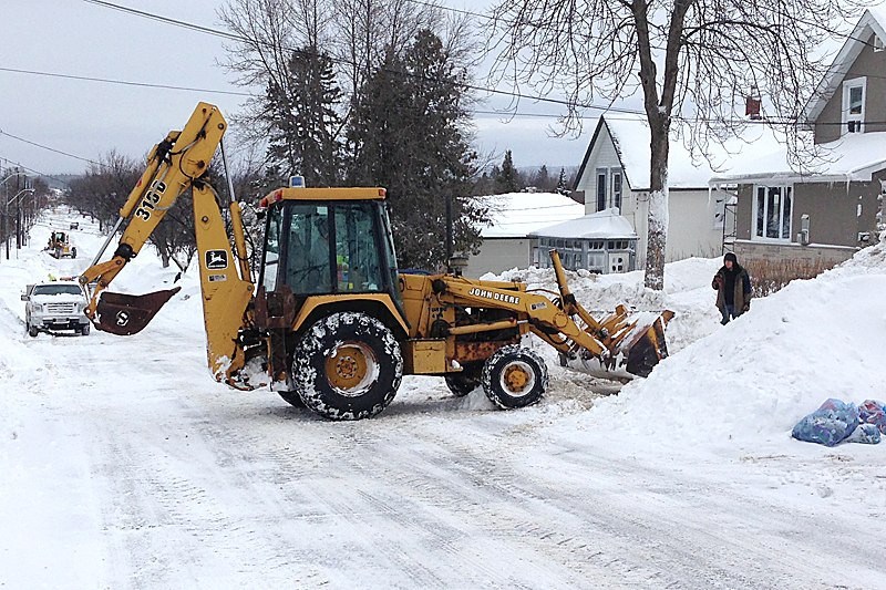
That means most residential streets won’t be touched until the afternoon, with city roads division manager Brad Adams explaining most of those streets will only see plowing on one side.
With crews only doing one sided plowing, Adams stressed the importance of residents following calendar parking restrictions. He expects it will take the next few days to get everything completely back to normal.
“It’s going to take us pretty well all weekend and possibly even Monday to get all residential streets open,” said city roads manager Brad Adams.
The city crews are using their full arsenal of 22 graders, nine truck plows and three loader plows to get as many roads cleared as quickly as possible.
For residents, this is their second straight week digging out from a significant snowfall.
This winter storm was created by a system heading north from Iowa absorbing a similar system that has heading towards Thunder Bay from the Ontario and Manitoba border.
Early estimates indicate that between 15 to 25 centimetres of snow has accumulated thus far with more yet to come, according to Environment Canada warning preparedness meteorologist Geoff Coulson.
“It looks like on radar there is still plenty of snow in Northwestern Ontario,” Coulson told CKPR Radio.
“This system is going to continue to move north of Lake Superior later on (Friday) but snow is going to wrap around the western side of it for the rest of (Friday) and into the overnight hours as well.”
And once the snow finally stops, colder temperatures will return.
Coulson warned that residents shouldn’t expect a reprieve until next month.
“We are going to see temperatures start to drop back down to well below seasonal values through Sunday and into the work week,” he said.
“At this point, by Tuesday we’re only forecasting a daytime high of - 14C where the normal high is - 4C. The long range model is showing this stubborn colder than normal pattern that has been with us for much of the winter will continue into March.”
The city is reminding citizens that calendar and priority winter parking regulations are in effect and that no one should be parked on arterial or collector streets between 2 a.m. and 7 a.m.
