THUNDER BAY – The New Year may have begun on a quiet note, but Environment Canada is warning it could get a little nasty out on Day 2.
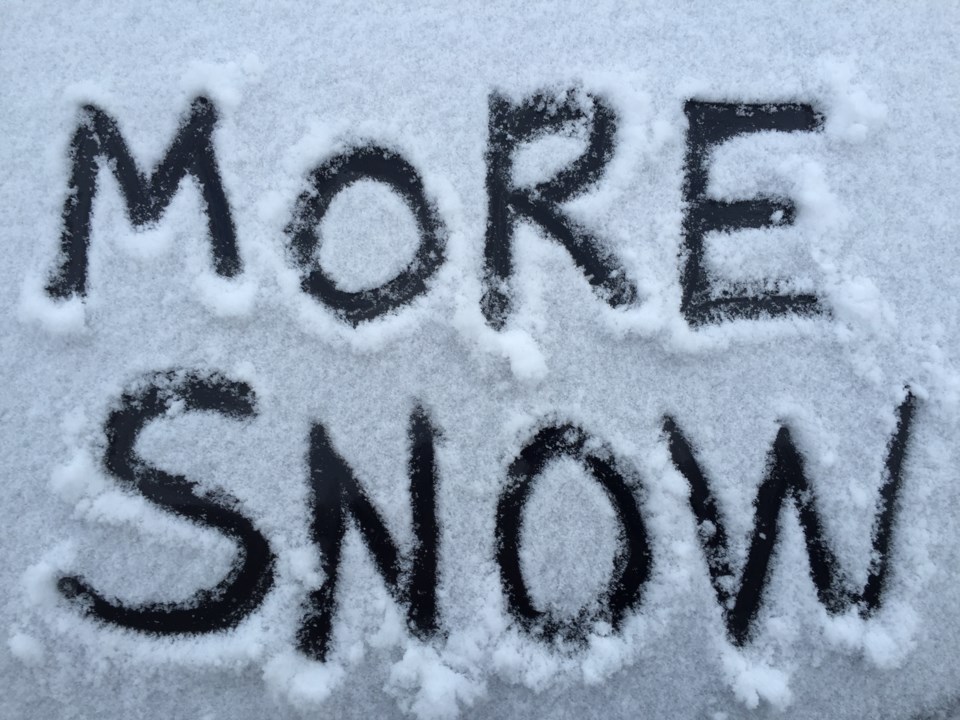
A special weather statement has been issued for Thunder Bay, with up to 25 centimetres of snow expected starting on Monday.
According to the statement, “a developing Colorado low-pressure system will begin trekking toward the Great Lakes on Monday. Snow in advance of the low will begin over Northwestern Ontario near the Minnesota border late tonight or Monday morning, then reach regions north of Lake Superior Monday afternoon.”
Between five and 10 centimetres of snow is expected for Thunder Bay, with lesser accumulations outside the city. The heaviest snowfall expected to develop on Monday night and linger into Tuesday, with between 15 and 24 centimetres of snow a possibility by the time the system moves on.
“A winter storm watch or snowfall warning will likely be issued as the event approaches.”
