THUNDER BAY — The City of Thunder Bay will fix and widen numerous deteriorating stretches of its existing recreational trail system in the coming months.
It will also further develop sections on the waterfront as part of a long-range plan to build a trail along virtually the city's entire lakeshore.
The work to be done this year will cost an estimated $1.6 million.
Trails in the worst condition will be fully excavated and rebuilt with a new base to improve drainage and extend their life span.
These include the McVicar Creek trail between Madeline Street and Bruce Street, where "there's lots of big boils, and stumps coming through," says Werner Schwar, supervisor of Parks & Open Space Planning for the city,
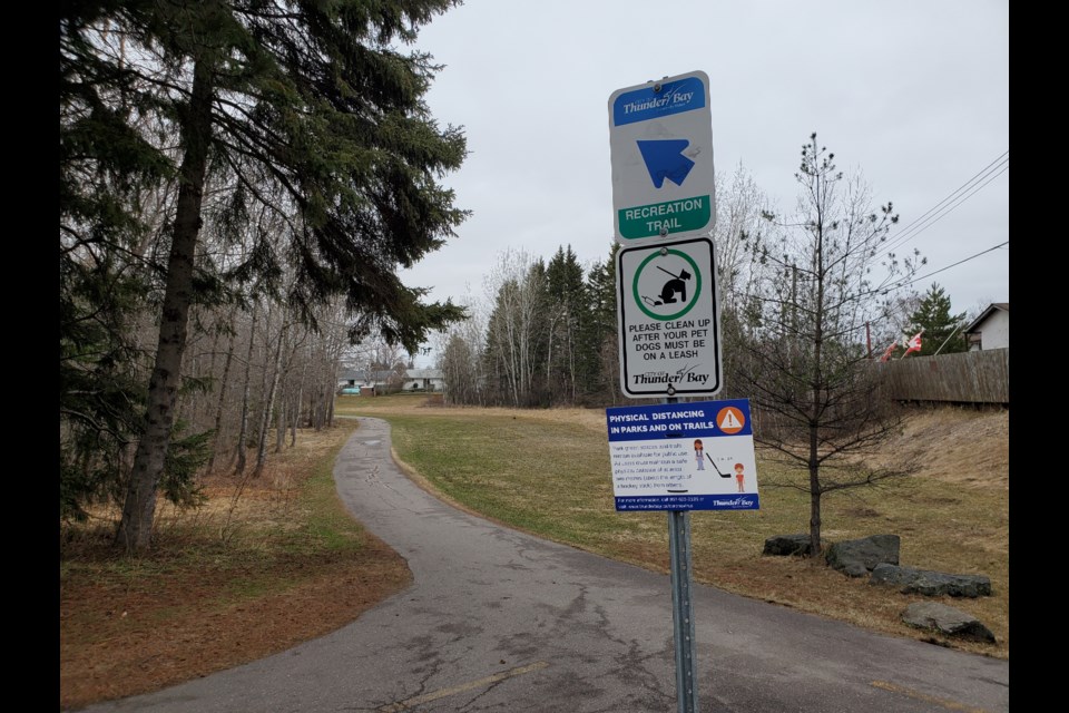
"The idea is to do a total restoration, including excavation to a deeper depth to get rid of the stumps and organics...and going to our new standard of a three-metre-wide trail," Schwar told TBNewswatch.
He said the same kind of work will be done in the Castlegreen and County Park areas, as well as at George Burke Park where ""the trail really splits badly open in the middle in spots."
Improving drainage and getting rid of the water in the existing granular basis, Schwar said, will reduce the risk that similar deterioration will happen again.
He explained that although numerous trails were resurfaced almost a decade ago, there was little excavation, so "now, where the really bad spots are has become painfully obvious with the asphalt lasting less than 10 years."
Widening the trails from the previous standard of 2.5 metres happens to come at a time when the COVID-19 pandemic requires social distancing, but Schwar said it will also make it safer for walkers to use them at the same time as cyclists and inline skaters.
As for the waterfront trail system, there is no target date for completion, as city council has directed administration to develop it incrementally.
Schwar said three projects will take place this summer:
- Marina Park Drive north to the Richardson grain terminal, with new signage along the two-kilometre route and a sitting area/outlook near the shoreline at the terminus
- Island Drive between Main Street and the Neebing-McIntyre Floodway, where the road will be widened during rehabilitation to include an adjacent three-metre separated trail with new signage
- At the southern end of the future waterfront route, starting at Mission Marsh, where a granular trail will be developed along with wayfinding signs
Schwar said that, over time, these small sections will be connected as funding becomes available and in conjunction with other planned infrastructure improvements.
At some point in the future, he also expects the Marina Park Drive trail will cross the Current River over a bridge and connect with Fisherman's Park.
"That's the real goal. That will have huge benefit, being able to link Marina Park with the whole Boulevard Lake complex," Schwar said.
Much of the funding for this year's work comes from a federal government grant.
