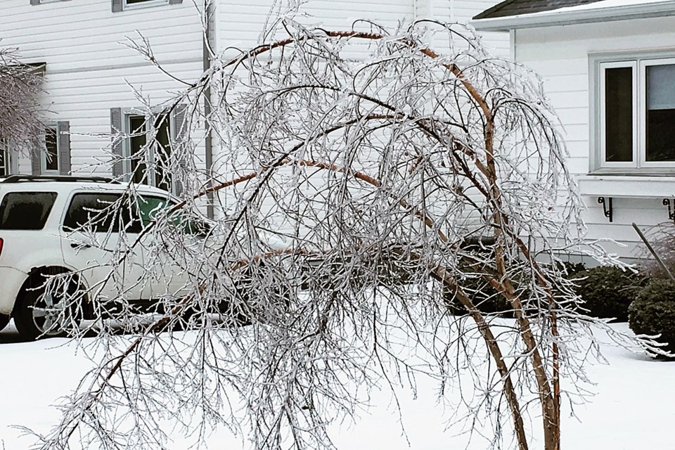
THUNDER BAY -- The small break from Wednesday’s ice storm has come to an end, but Environment Canada meteorologist says conditions won’t be as bad as they were Wednesday.
The storm gained a second wind late Thursday morning as the next rush of moisture moved into Lake Superior.
Warning preparedness meteorologist Peter Kimbell said the city may see more ice pellets than freezing rain on Thursday.
“The precipitation will continue for the rest of the day until it transitions to snow late this afternoon or this evening for another couple of centimetres,” Kimbell said.
“The weather does improve, the precipitation will end and we will get into some cold northwest winds with a temperature of -4 C, but it does improve gradually to 2 C Friday.”
Kimbell added the city could see a bit of freezing drizzle overnight before the storm comes to an end.
There may be more ice pellets than freezing rain in the Thunder Bay area for Thursday, so the city could see a mix of both and possible five to 10 millimetres of total precipitation.
“This ranks as one of the worst [ice storms] and it’s definitely very unusual to have it at the end of April,” he said.
“The odd thing is that if you travel around the lake shore you are going to get into much different weather.”
The north shore of Lake Superior is right in the target of the cold air and freezing situation,
Kimbell added the weather will be back to normal Saturday with a high of 10 C, but the weather will remain on the cool side for the start of May.
