THUNDER BAY -- Environment Canada has updated a weather warning for the City of Thunder Bay.
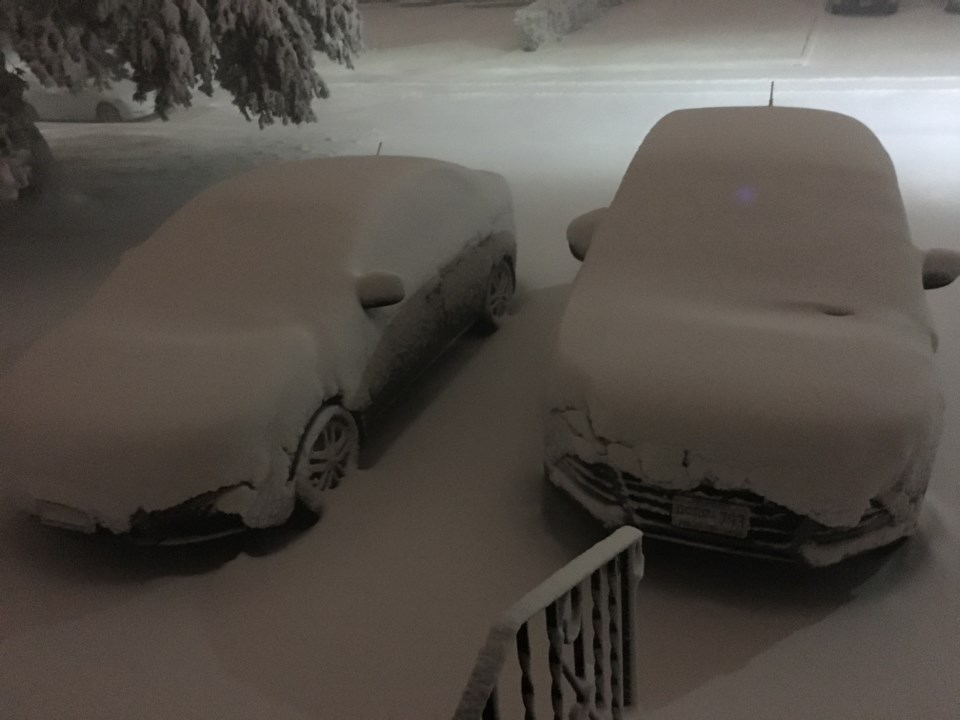
Weather forecasts show a significant snowfall for the area, snow possibly heavy at times is expected to move into portions of northwestern Ontario Wednesday night and persist into Thursday before ending.
A total snowfall accumulation of 10 to 15 centimetres appears likely with gusty northeast winds to 50 kilometres per hour are expected.
For areas close to Lake Superior, precipitation may begin as rain or freezing rain Wednesday evening before changing over to snow later tonight.
At this point, it appears that the heaviest snow will remain east of Thunder Bay where snowfall warnings are in effect.
If the weather system responsible moves slightly farther west than currently expected, the city of Thunder Bay may receive higher amounts.
Sign in or register
- Messages
- Post a Listing
- Your Listings
- Your Profile
- Your Subscriptions
- Your Likes
- Your Business
- Support Local News
- Payment History
Registered Users
Already have an account?
New Users
Create a free account.
