THUNDER BAY -- Above-average snowfall in the Lake Superior basin in February helped keep the lake's level much higher than normal.
At the beginning of March, the level was 34 centimetres, or almost 13.5 inches, above the historic average for this time of year.
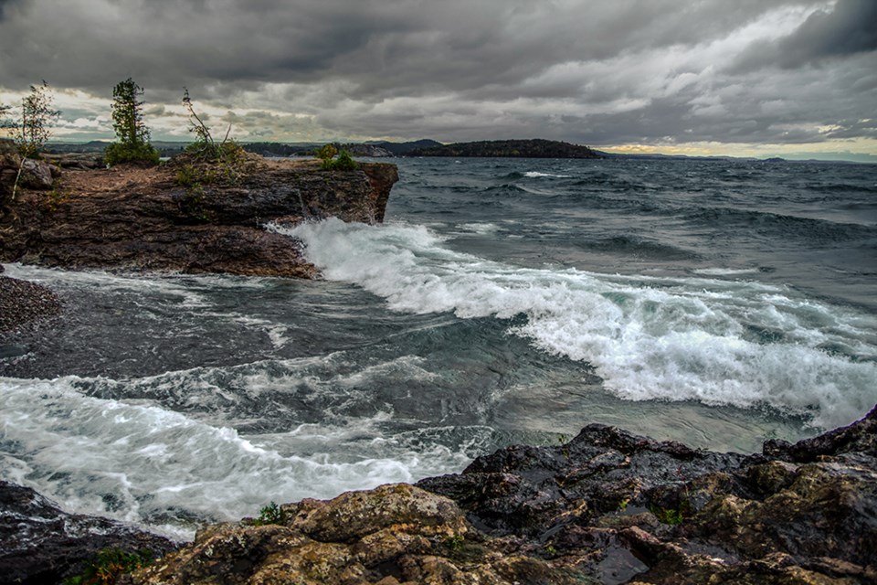
This is 16 centimetres, or more than six inches, higher than a year ago at this time, and the second-highest level ever recorded at the beginning of March.
The International Lake Superior Board of Control says rising levels coupled with strong winds and waves have resulted in shoreline erosion and coastal damage in damage across the upper Great Lakes system.
In a news release, it said there may be additional erosion and damage this spring "should active weather continue."
The Canada/U.S. agency said it will "maximize" the outflow from Lake Superior through control structures in the St. Mary's River at the eastern end of the lake, in an effort to mitigate the damage.
In January, the U.S. Army Corps of Engineers' long-term forecast for Superior showed there is potential for new record highs to be set by May or June.
