THUNDER BAY – The Lakehead Region Conservation Authority has released a flood outlook statement for Thunder Bay and the surrounding areas, with moderate rains and quickly changing temperature conditions on the way.
The agency issues the statements to provide early notice of the potential for flooding when weather forecasts call for conditions like heavy rain, snow melt, and high winds.
The Thunder Bay area is likely to get a taste of all three in the coming day or two, said Environment Canada meteorologist Gerald Cheng on Wednesday morning.
“It’s a big system on the way,” he said. “Certainly it’s unsettled today, but that’s just the appetizer, because the steadier rains will come tonight, and the rain will continue into tomorrow morning.”
The forecast calls for 15 to 25 millimetres of rain overnight Wednesday, as temperatures go as high as 9 C.
That’s expected to change to snow Thursday morning, with around 5 centimetres expected, as temperatures dip to -20 C with wind chill by the afternoon.
Combined with wind gusts of up to 70 or 80 km/h, that could cause poor visibility, Cheng warned. Snow should ease by Thursday evening.
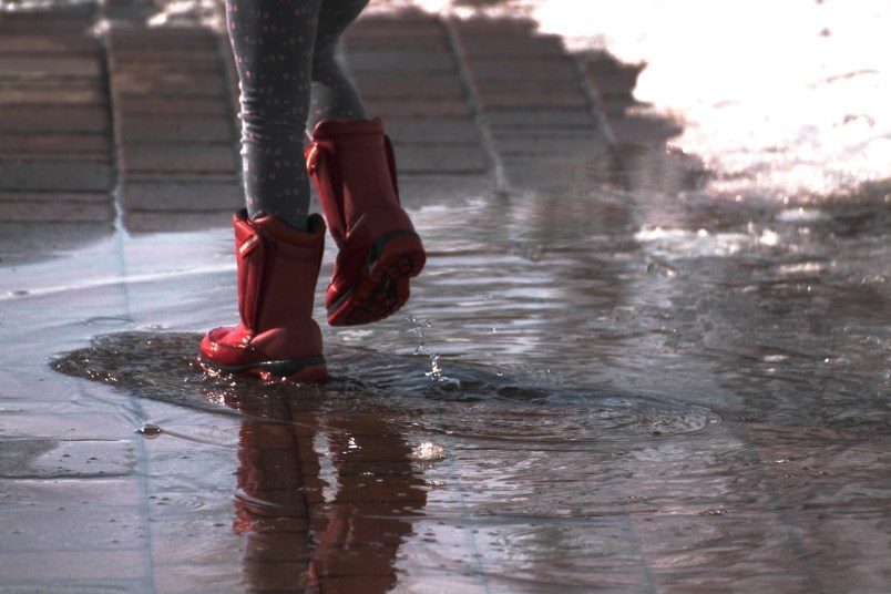
The rainfall and shift in temperatures could cause ponding in low-lying areas and ditches, the LRCA warned.
“The return to below freezing temperatures by the weekend will result in the rapid accumulation of ice, which may result in blocked culverts and ditches,” it stated.
The agency urged the public to exercise caution due to fast-changing conditions.
The LRCA outlook covers the region including Thunder Bay, the municipalities of Neebing, Oliver Paipoonge, Shuniah, and the townships of O’Connor, Conmee, Gillies, and Dorion.
