Skip to content

MNRF issues clarification on restricted fire zone

The fire restriction does not include the city of Thunder Bay, and many surrounding municipalities.
RFZ-Thunder BayArea boundaries
This map shows the latest restricted fire zone areas imposed on Thursday, Aug. 16, 2018 by the Ministry of Natural Resources and Forestry.

THUNDER BAY - The Ministry of Natural Resources would like to clear up details surrounding Thursday's fire ban.

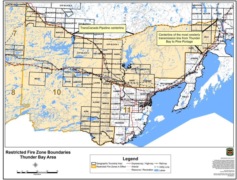
On Thursday, the MNRF issued a fire ban for the entirety of the Kenora, Fort Frances and Dryden, as well as the southern portions of Red Lake, Sioux Lookout and Thunder Bay districts.

The city itself is exempt from the ban the MNRF clarified via press release on Saturday.

The municipalities of Neebing, O'Connor, Oliver Paipoonge, Shuniah, and Dorion are also exempt from the ban.

The unincorporated areas of Pass Lake and Sleeping Giant Provincial Park are free from the ban as well.

The MNRF sent out a new image of a map of the region to further clarify the exempt areas.


Michael Charlebois

About the Author: Michael Charlebois

Michael Charlebois was born and raised in Thunder Bay, where he attended St. Patrick High School and graduated in 2015. He attends Carleton University in Ottawa where he studies journalism.
Read more


Comments

push icon
Be the first to read breaking stories. Enable push notifications on your device. Disable anytime.
No thanks