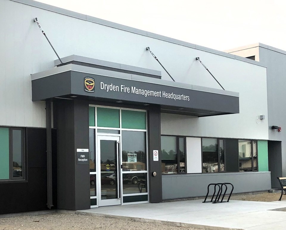
DRYDEN — The lack of snow in the bush this winter "is certainly on our radar, for sure," said Chris Marchand, a fire information officer at the Ministry of Natural Resources and Forestry's regional forest fire management headquarters in Dryden.
Northwestern Ontario has received much less snow than normal by this time of year.
"There's some discussion of how this could affect things, but at the same time, looking more than 10 days into the future and betting on the weather is a bit of a dangerous game," Marchand said.
He noted the forest fire season doesn't officially begin until April 1.
"There are two months of, hopefully, fairly wintry weather ahead of us. These El Niño conditions that we're experiencing are known for producing this kind of variability in the weather we've had. Moving towards spring, our current projections indicate the El Nino influence will slowly weaken."
At this point it seems likely, however, that drier-than-normal weather will continue through most of February.
"Knowing we went into winter with a drought that was not, you know, necessarily recovered fully. Knowing we have those conditions coming into spring can help us create more accurate ways to calculate our spring fire hazard," Marchand said.
Typically, wildfire activity doesn't pick up until the first week of May or so, "if we see snow-free conditions in open areas much earlier than that, we could see more fire activity in April," he said.
"And that's certainly a possibility if this pattern holds that we're in presently."
If there's substantial rain after the ground thaws, the fire threat will lessen, but Marchand mentioned what happened in 2022 when there was significant snow during the winter.
"We saw conditions where a lot of that snow melted really fast and ran off over frozen ground, so it didn't get into the ground so much. It went straight into waterways. It really does matter how the melt takes place, as well."
According to the Lakehead Region Conservation Authority, the snow depth at various monitoring stations around the city was just over 20 cm at the beginning of February, or roughly half the long-term average.
In the Municipality of Neebing, which often receives more snow than the city, climatologist Graham Saunders keeps track of snow depths and other weather data.
He said there's about 15 cm on the ground at his monitoring station – much lower than the long-term average of 50 to 80 cm – and he feels that's fairly typical of the current situation at many rural locations around Thunder Bay.
Last year at this time, Saunders measured the snow depth at 55 cm on Feb. 12.
He's assisted the MNRF with predicting fire weather in past years, and from his experience he believes the amount of snow on the ground isn't a huge influence on the development of forest fires.
"It's whether we have rainfall in the spring," Saunders said.
"My sample year was 1996 when we had more than a metre of snow. I worked on that particular fire season. We still had snow on the ground in early May in Thunder Bay and throughout the Northwest. Then we were in a fire situation within three or four weeks."
He said that turned out to be a bad year for wildfires in the region.
