There is no sign that spring will arrive anytime soon.
"I'd love to say we're putting an end to winter-like weather and moving on to real spring-like stuff, but it certainly looks like the winter-like conditions are going to want to hang on at least through the first part of April," said Environment Canada meteorologist Geoff Coulson.
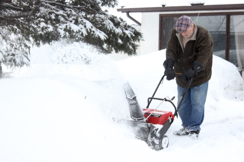
About five to six centimetres of snow fell on the city starting Wednesday evening and Coulson said a couple more will fall before it finally peters out Thursday night. This snow followed nighttime lows earlier in the week that sometimes hit below -25 C.
"The worst of the snowfall has been just to the south of Thunder Bay," said Coulson, noting the northern part of the city received a much lighter blanket of snow.
Areas closest to the Minnesota border could get a total of 10 to 15 centimetres.
While sunny skies and milder temperatures are in store for Friday and Saturday, precipitation is back in the forecast for Sunday and Monday.
There's a potential for a rain-snow mix on Sunday and although the temperature could reach 8 C, Coulson said once that systems clears out, the temperature will again be colder than normal for the city.
A normal low for this time of year is about -7 C, temperatures will dip to about -12 C on Tuesday and Wednesday next week.
