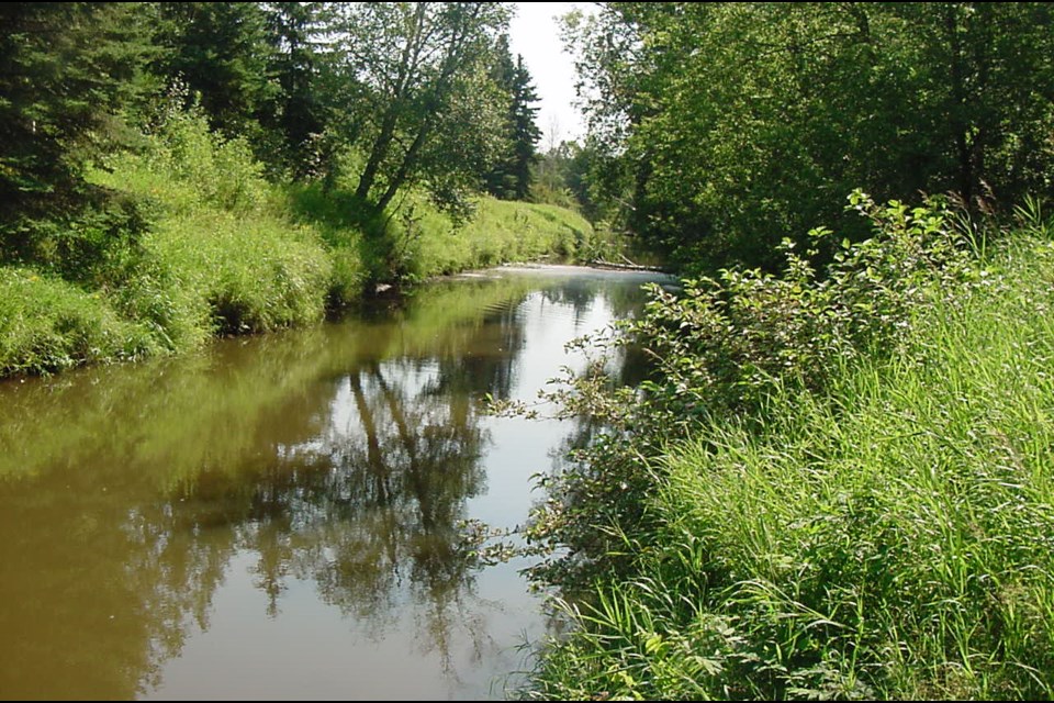
THUNDER BAY -- The Lakehead Region Conservation Authority (LRCA) will unveil updated studies and maps of the Neebing River floodplain at a public meeting this week.
Consultants hired by the LRCA used state-of-the-art modelling, Geographic Information System techniques and LIDAR topography to bring existing floodplain models and maps to current standards.
LIDAR, which stands for Light Detection and Ranging, is a remote sensing method that uses light in the form of a pulsed laser to measure variable distances to the Earth's surface.
Tammy Cook, Chief Administrative Officer of the LRCA, says the last study was done over three decades ago, "so we've updated the study to include changes to land form, changes to bridges and culverts for instance, and we've also extended the study into Oliver-Paipoonge, so there are some new tributaries that now have mapping."
In an interview with Tbnewswatch, Cook said the revisions reconfirm where the flood line is within the Neebing River watershed.
The map is used for regulatory purposes in administering development regulations, and is provided to area municipalities so they can incorporate it into their zoning documents.
"We'll also use it for flood forecasting purposes," Cook said, "to help us understand what roads, for instance, or what dwellings are flooded during different flood events."
The updates include hydrology models which calculate how much water is flowing in a river.
Nearly 900 property-owners within the floodplain have been notified of the revisions.
"We have mailed out 869 letters to anybody who has regulated area within the watershed, advising them that we are updating the mapping, with the map showing their property. It's not a prohibition on development. It's us working with the proponent to ensure they're developing within a sustainable manner when it comes to flooding," Cook said.
The McIntyre River floodplain was re-mapped in 2015.
The LRCA will host an Open House on the Neebing River floodplain update on Thursday, March 29 from 4 p.m. to 8 p.m. at its offices at 130 Conservation Road in Thunder Bay.
