THUNDER BAY – A review of potential safety improvements on Dawson Road has returned few meaningful options short of adopting a Designated Truck Route.
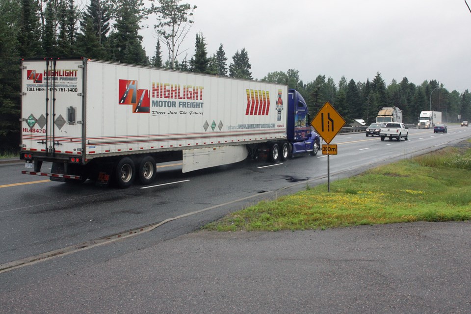
A report from city staff concluded the stretch of Dawson Road within city limits has seen lower than average collisions for Ontario roadways in the past decade, but indicated tractor trailers play an outsize role in those that do occur.
City council directed administration to conduct the review earlier this year, considering solutions including speed reductions, signage and road design, and additional turning lanes.
Staff recommended adding another speed radar feedback sign and painted road markings east of Paquette Road, but found little room for improvement short of implementing the Designated Truck Route, which administration confirmed it continues to recommend.
The DTR remains stalled with council deadlocked on the issue, but a series of fatal collisions involving transport trucks on Highway 102, which turns into Dawson Road, put the issue back in the spotlight last year.
Coun. Trevor Giertuga, who has championed the DTR, reiterated his frustration over the situation.
“All we’re doing here is putting an additional speed radar feedback sign that’s requested by Thunder Bay police, and painting a few lines on the road,” he said. “It’s not much, but I guess anything’s better than nothing.”
The city has jurisdictional ownership of the road to a point 100 metres west of the intersection with Dog Lake Road, where it enters MTO control.
A report divided 10-year collision data for the road within city limits between two sections.
In the 80 km/h zone from Highway 589 to Willow Park Drive, there had been one collision causing a fatality, 11 causing injury, and 128 causing property damage, the report found.
In the 70 km/h Zone from Willow Park Drive to Paquette Road, there were no fatal collisions, three causing injury, and 73 causing property damage.
Seventy-four per cent of collisions were single-vehicle accidents.
“Dawson Road [from] Paquette to Townline Road displays a lower collision rate than the average roadway in Ontario,” the report concluded. “No locations on Dawson Road exhibited a higher sustained collision rate that identified a specific safety hazard that needed to be addressed with the roadway design.”
Staff did find tractor trailers were involved in a disproportionate number of accidents, representing 28 per cent of total collisions, despite making up under 15 per cent of the roughly 12,000 vehicles estimated to travel Dawson Road daily.
Residents have “identified perceived safety concerns based on tractor trailer speeding and near miss occurrences,” the report stated.
“The truck traffic on Dawson Road is higher than most other city streets,” traffic technologist David Binch told council. “That being said, we did perform a safety analysis on Dawson Road, and we found [it’s] operating just underneath the Ontario average for collisions. Due to that, we don’t make any recommendations at this point.”
An analysis of roadway characteristics, including alignment, hill grades, and turning lanes, found the road still meets current engineering standards.
A review of the Dog Lake Road to Townline Road section under the MTO’s jurisdiction also didn’t yield any suggested turning lane improvements.
In discussions with the city, the MTO indicated it's reviewing potential improvements at Sistonen’s Corner, where highways 11/17 and 102 meet. That could include signage, rumble strips, and illumination upgrades.
The city has previously reduced speed limits on the road in several areas.
In 2001, it cut the limit between Lydia Avenue to Paquette Road in front of Five Mile School from 80 km/h to 60 km/h, before later revising it to 70 km/h.
The city later established a Community Safety Zone (CSZ) near the school, between Hunter Road and Willow Park Drive, adding two speed radar feedback signs in 2012. An analysis found that reduced speeds by an average of 5 km/h in the area.
In 2019, the city cut the speed limit from 60 km/h to 50km/h in a stretch from Paquette to Hilldale Roads. The city has since observed a reduction in collisions in that section, said Binch.
The city plans to add a new speed radar feedback sign east of Paquette Road at the request of the Thunder Bay Police Service, which identified it as an area where drivers are exceeding the speed limit as it falls closer to the urban area.
The unit will be placed after the speed transition zone from 70km/h to 50km/h for eastbound traffic.
The city could also implement automated speed enforcement in the Community Safety Zone near Five Mile School. Council will receive a report on the possibility of implementing the system in December.
