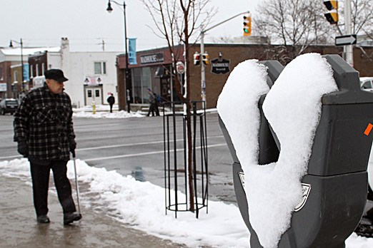
It appears that winter has arrived.
The light snow that began to fall in the area just before 5 p.m. Saturday marks what could be nearly a week of more winter-like weather for Thunder Bay.
Environment Canada is predicting that a mix of light snow, flurries and freezing rain could continue to hit the area from now and until Wednesday. And freezing temperatures, with lows near –9C, are expected to enter the region as the snow and flurries exit.
Information from Environment Canada on the total amount of snowfall at the Thunder Bay Airport was listed as missing Sunday morning, but stated about 4.1 millimetres of precipitation had been recorded Saturday.
The precipitation amounts were enough to cover the city in a blanket of snow that forced snowploughs to hit the highways for the first time this season.
Area highway traffic also felt the sting of the year's first snowfall. OPP officers were forced to close Highway 102 shortly after midnight Sunday when two tractor-trailers became stuck near Sistonens Corners, collectively blocking the highway’s lanes.
Police announced the re-opening of the highway later Sunday morning. Since then the Thunder Bay detachment of the OPP has been warning motorists of poor road conditions across the region.
As of Sunday afternoon, the Thunder Bay Police Service and the Thunder Bay detachment of the OPP were unable to provide details as to how many weather-related traffic collisions they responded to Saturday evening and Sunday.
Sign in or register
- Messages
- Post a Listing
- Your Listings
- Your Profile
- Your Subscriptions
- Your Likes
- Your Business
- Support Local News
- Payment History
Registered Users
Already have an account?
New Users
Create a free account.
