THUNDER BAY — Environment Canada's updated weather forecast for the Thunder Bay region indicate there's considerable more snow left in the system that arrived in the area late Tuesday.
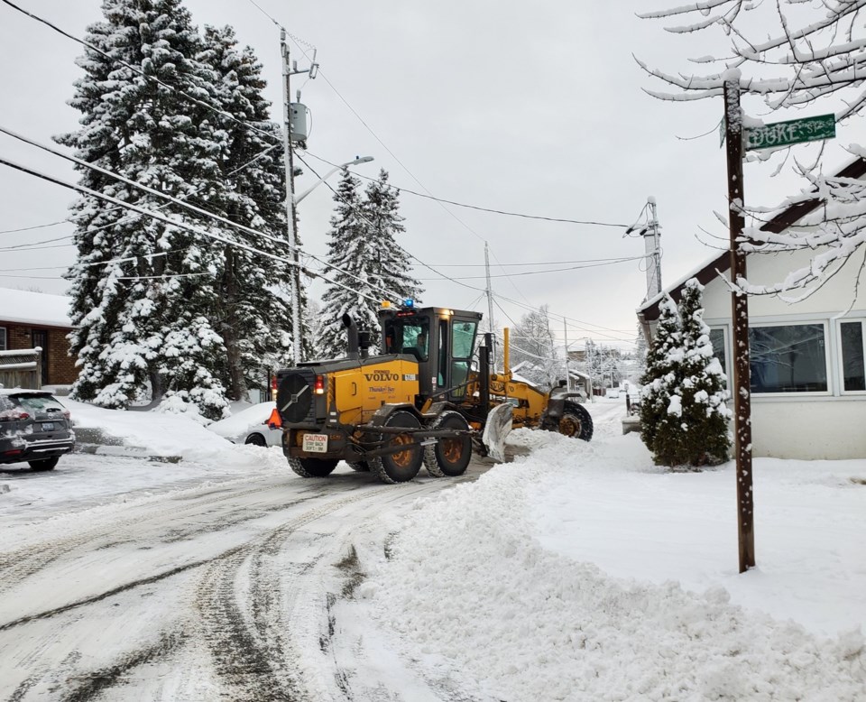
By this morning, it had dumped from 10 to 15 centimetres of snow around the city.
A snowfall warning remains in effect for the city and surrounding areas.
Meteorologist Peter Kimbell said falling temperatures will generate more snow this evening and overnight.
Snow will be heavy at times in Thunder Bay, with total amounts of 10 to 20 centimetres expected by Thursday morning.
Periods of snow are then expected to continue until about noon, adding to the accumulation already on the ground.
Brisk northerly wind up to 60 kilometres per hour Wednesday night and Thursday will worsen the already hazardous driving conditions.
Wind chill overnight Wednesday is forecast to plummet to as low as minus 30 C.
East of the city, a winter storm warning is in effect for Nipigon, Greenstone, Schreiber/Terrace Bay and Marathon.
Total snowfall amounts of 25 to 35 centimetres are possible by Thursday afternoon along the north shore, with potential local accumulations of up to 50 centimetres.
