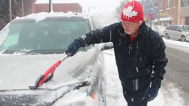
Thunder Bay and area residents can put their shovels away for a while after they finally finish clearing out from the April snowfall that is expected to conclude later Monday.
Environment Canada predicts a significant turnaround in the coming days.
As of Monday morning, the city had received between 10 and 15 centimetres of snow.
Meteorologist Geoff Coulson said "the higher amounts were recorded around the airport and on the western side of the city," with some parts of the north shore including Marathon getting as much as 22 centimetres.
Environment Canada issued a renewed winter storm warning late in the morning, advising that an additional five centimetres could be expected Monday afternoon. Northeast winds of up to 50 kilometres per hour can also produce blowing snow, the national weather service added.
However, the thaw will begin Tuesday, when the temperature is forecast to climb to 3C, followed by a much sharper upward trend that should continue over an extended period.
"In the wake of this system, a big area of high pressure is gonna build over Northwestern Ontario. That's gonna clear the skies out...temperatures expected to rebound," Coulson said.
According to Environment Canada records, Thunder Bay's normal high daytime high at this time of year is 9C.
By Wednesday, the city should approach that number, followed by a a steady increase into double digits from Friday through Sunday at least.
Coulson cautioned, that "it may be a little too early to say that the snow is totally done" with Thunder Bay, but noted that the current extended forecast indicates seasonal temperatures to round out the month of April.
