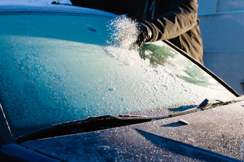
THUNDER BAY — Heavy parkas and scarves that have been left hanging in the closet for much of this winter may finally be put to use starting this weekend.
Thunder Bay's protracted spell of mild weather will come to an end in a notable way, according to Environment Canada.
"We are looking at a fairly major shift in the weather pattern, with respect to cold Arctic air flooding down from the Far North," meteorologist Geoff Coulson said on Monday.
Normal daytime highs for this time of year are about -8 C, while normal overnight lows are around -20 C.
"It will be significantly colder than that starting Friday, with an overnight low of -24, and then getting even colder as we progress through the weekend and into February," Coulson said.
The high temperatures on Saturday and Sunday will be about 10 degrees colder than normal, with the overnight low approaching -30 C.
He said long-range forecast models are currently showing some differences between them, but indications point to colder-than-normal weather continuing until the 6th of 7th of February.
"After that, it looks like it won't be a return to what we've experienced through much of January. February will be seasonably cold for Thunder Bay and a good part of Northwestern Ontario," he said.
Just to show how mild January has been compared with a normal winter, Thunder Bay to date has recorded no days with -30 temperatures.
The city usually experiences at least three or four days that are that cold, and last January there were seven -30 days.
"It does look like we will get a couple or a few days that cold to finish off the month," Coulson said.
Although the blast of Arctic air predicted to arrive this weekend is not connected directly to the polar vortex, Environment Canada expects the vortex will show itself in parts of Canada at the start of February.
"That's certainly something that meteorologists and climatologists will be keeping a close eye on. The biggest impact at this point is likely going to be more likely in the extreme north of Ontario, and maybe over toward Manitoba and Saskatchewan. Those areas to the far north may be much colder than normal."
