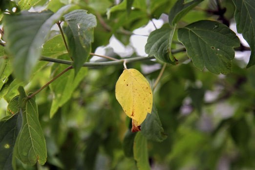
The sky has been weeping since summer skipped town.
The season must be travelling the country by train this year, currently living it up on the East Coast where temperatures are in the mid 20s, as it hasn’t been able to make the trip back to Thunder Bay very often.
But it appears rain has been making the Northwest its summertime home, spending nearly half of July here and already dropping 34 millimeters more than the monthly average. This could lead to the breaking of the 1997 record of 150mm.
Environment Canada’s Geoff Coulston couldn’t say when the rain might stop, or even slow down, but thanks to a storm out of the Prairies it won’t likely be anytime too soon.
“Short-term wise at least there’s not a lot of change expected in the forecast,” he said.
The air has also been given the cold shoulder by summer, with a high of 16C is expected Saturday. And while warmer temperatures are expected to drop by Sunday and Monday -- with sunshine and a high of 24C expected -- it’ll be gone by mid-week with another Prairie system swooping in to take its place.
“Overall the temperatures trend is expected to be around seasonal or cooler than seasonal,” Coulson said.
“Nothing really at this point is expected to break the trend that we’ve seen.”
Looking long-term, Coulson said it’s possible that the sky could cheer up a little in September, which would at least make for drier conditions and some warmer weather.
“I think folks would be at least fairly happy with that,” he said.
