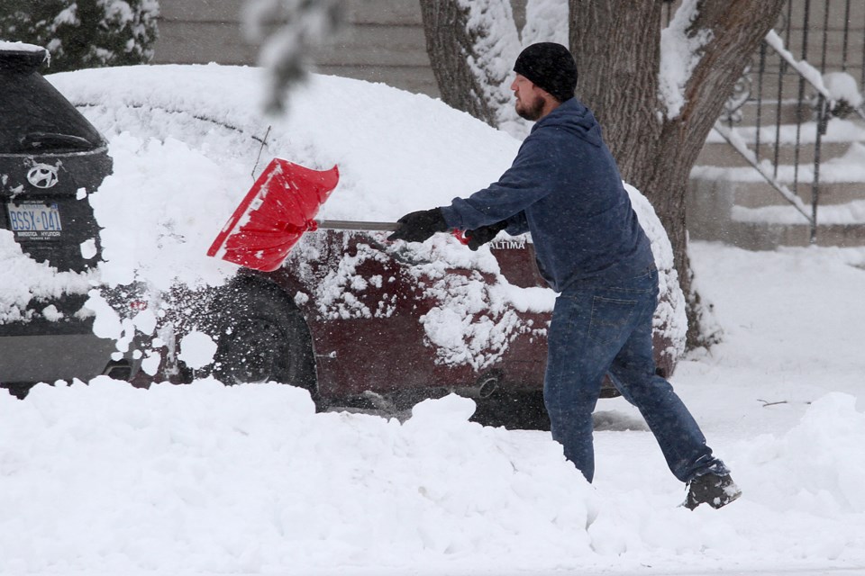
THUNDER BAY — The winter of 2020-2021 in Northwestern Ontario is proving to be out of the ordinary in more than one respect.
With winter almost half over, Environment Canada says temperatures and snowfall are both tracking well outside normal ranges.
Meteorologist Gerald Cheng says in January there was "a huge deficit" in precipitation, with only 5.1 millimetres of water created by the snow that fell at Thunder Bay Airport.
The normal precipitation total for the month is 31.3 millimetres of water from melted snow.
At the end of the month, there was only 16 centimetres of snow on the ground, less than half the normal snow depth of 34 centimetres at this time of year.
Despite a cold snap in the latter part of January, it was also considerably warmer on average than historic readings.
The average temperature of -9.2 C puts January 2021 in the top four of the mildest-ever at the Lakehead.
It was more than 5.5 degrees above normal, and only a couple of degrees colder than the record set in January 1944.
Cheng noted that the northwest is currently back into a mild spell, but warned that's not going to last much longer.
"Winter took a holiday for much of January, but that's not going to be the case in February," he said.
"We might see some fluctuations, but be prepared for cold weather. It's coming back for sure."
The forecast for the end of the week shows temperatures falling back to normal ranges by Friday, and dropping considerably below normal on the weekend.
The historic average is about -7 C, but the maximum on both days will only reach around -15 C.
