THUNDER BAY – The longest recreational trail in the world is officially connected with Northwestern Ontario waterways serving a vital role in linking the country.
Celebrations were held across Canada on Saturday to mark the official completion of the 24,000-kilometre Trans Canada Trail, a route of hiking, cycling and paddling opportunities that connects the nation from coast to coast to coast.
Pam Cain, general manager of the Path of the Paddle Association, said the completion of the trail this year is especially symbolic.
“I think it connects Canadians, which is really important in the 150th year of Confederation,” Cain said at the Thunder Bay celebration, which was held at the Fort William Historical Park trail head.
“It acknowledges the past, especially our trails which are built on the past and the importance of that history to our area. We have now a vehicle for recreation, for tourism to happen.”
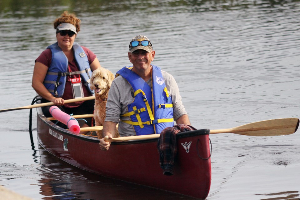
The Path of the Paddle Association is responsible for 1,200 kilometres of water trails throughout Northwestern Ontario extending from Fort William Historical Park to the Manitoba border while passing through the communities of Atikokan, Dryden and Kenora.
The organization marked the opening of the Animikii Trail, a 94-kilometre stretch from the Fort William Historical Park boat launch along the Kaministiquia River to Lake Superior south to Pigeon River Provincial Park.
Cain said when determining the path of the trail through Northwestern Ontario, it was determined water trails were most suitable.
“The voyageurs, the fur traders, this is how they were moving across the country. Later on for our industry, our logging, things that were building this country and opening it up for people was all by waterway,” Cain said.
Local volunteers have been working in the region since 2013 to prepare the trail, which included charting courses and preparing portage and camping sites.
“In some cases where it’s really wilderness we had to identify where we were going, send out people that are going to fix up portages,” Cain said. “Wind blows come down seasonally, we don’t know what to expect. There’s high water, there’s low water, there’s beavers. There are a lot of factors and a lot of hours that go into making these trails.”
The water trail’s connections are the Animikii Trail, the 100-kilometre Omimi Trail from the Grand Portage National Monument to Quetico Provincial Park, the 140-kilometre stretch from Quetico to Atikokan, the nearly 500-kilometre Maukinak trail from Atikokan to Dryden, nearly 200-kilometre Migizi route from Dryden to Kenora and the final 170-kilometre Iinoo Oowan journey counnecting Kenora to Manitoba’s Whiteshell Provincial Park.
Locally, non-paddlers can use the 40-kilometre multi-purpose Thunder Bay trail that runs throughout the city, the Pigeon River walking and hiking trail near the border or the Kabeyun Trail from Pass Lake through Sleeping Giant Provincial Park to Silver Islet.
