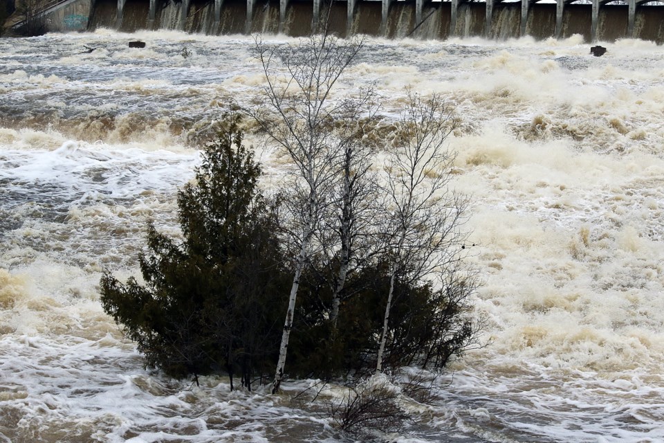
THUNDER BAY – Watercourses in the Thunder Bay area have been declining throughout the day Friday and are expected to continue to do so over the weekend, the Lakehead Region Conservation Authority has reported in its latest update to a flood watch for the region.
The assessment came as Ontario’s Ministry of Northern Development, Mines, Natural Resources and Forestry issued a flood warning of its own for the Thunder Bay District on Friday afternoon.
The ministry warned that residents in the Kaministiquia River, Whitefish River, Dog Lake, Shebandowan, Kashabowie, and Lac des Mille Lacs watersheds and the surrounding areas should exercise extreme caution around less travelled roads, bridges, and waterways.
Water levels are expected to remain high for a prolonged period, both the LRCA and the ministry stated, with water levels across the district at or exceeding maximum outflows.
That’s caused an expanding number of road closures in the area due to flooding and, in some cases, collapsed culverts. Thunder Bay residents can check the status of local roads at the city’s website.
Minimal precipitation forecast over the weekend should help watercourses decline at least somewhat toward more normal levels, the LRCA advised in its update.
The agency repeated its warnings to exercise extreme caution around local streams, rivers, and lakes, and to ensure children are kept away from all waterways.
