DRYDEN, Ont. – Several days of wet weather helped ease the forest fire risk heading into the long weekend, helping suppression efforts against fires near Kenora, Lac Seul First Nation, and Thunder Bay.
Fires that resulted in voluntary evacuations in the Kenora area earlier this week had slowed their growth in recent days, reported the Ministry of Natural Resources and Forestry (MNRF).
“Certainly the wet weather has had a major effect on the fire situation in the region,” said MNRF fire information officer Chris Marchand, with several areas hit by fires receiving 15 to 20 millimetres of rain.
There were 16 active fires across the Northwest as of Saturday, with six listed by the as not under control, four being held, and six under control.
The forest fire hazard was low across most of the Northwest as of Saturday, with some pockets of moderate hazard. Risk had been considered high to extreme in southerly portions of the region earlier this week.
Still, Marchand warned hazard could rebound quickly in the spring, and urged residents to check the fire hazard in their area before burning.
Two fires in the Willard Lake area, between Vermillion Bay and Kenora, that caused evacuations of cottages and camps earlier this week grew only slightly over the past two days, said Marchand.
Kenora 25 stood at 2,000 hectares Saturday, while nearby Kenora 30 stood at 1,300 hectares. Both are listed as not under control.
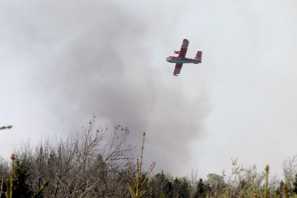
An Implementation Order remains in effect for the area, barring access to a number of roads as 22 MNRF crews and eight aircraft battle the fire.
A similar implementation order is in effect as crews respond to another fire north of Big Sand Lake, known as Kenora 27. Five crews were assigned to that fire, the MNRF reported, which was burning at 4,480 hectares as of Saturday.
Meanwhile, Thunder Bay 8, a fire in the Oliver Paipoonge area that required water bomber suppression earlier in the week, is now listed as being held at 97 hectares.
The fire is unlikely to go beyond its present boundaries, said Marchand, and is now in “more of a mop-up phase.”
Two fires burning north of Lac Seul First Nation remained not under control, but Marchand said they did not present a smoke or fire danger to the community as of Friday evening.
Eight fire crews reported good progress by Saturday on Sioux Lookout 3, which stood at 3,427.5 hectares. The fire originated May 16 about 15 kilometres north of Kejick Bay, one of the First Nation’s residential areas.
Fire rangers were also cutting helipads to prepare for incoming crews on nearby Sioux Lookout 5, burning at 226 hectares.
There have been a total of 111 fires recorded to date in the province, said Marchand, below the 10-year average of 133.
However, the 18,514 hectares of land affected by fire this year is well above the 10-year average of 12,800 hectares.
Of the 111 fires recorded in Ontario, 86 have been in the Northwest region that stretches roughly from Marathon to the Manitoba border.
