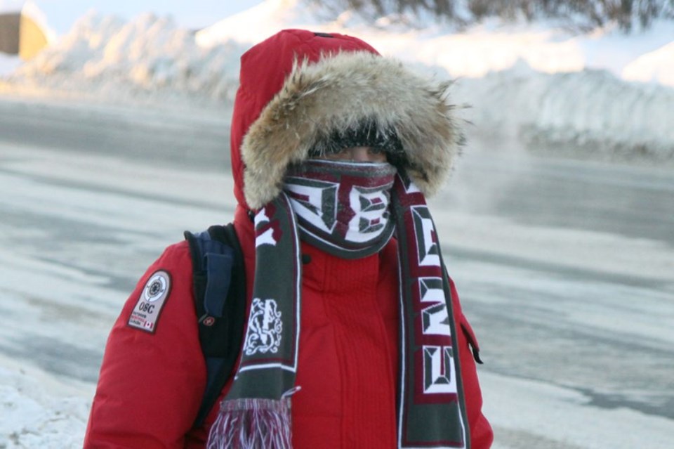
THUNDER BAY — Conditions should moderate for the weekend, but Thunder Bay and all of Northwestern Ontario remained under an extreme cold warning issued by Environment Canada for the third day in a row on Wednesday.
Increasing wind speed was expected to make conditions even more uncomfortable in the city, where the temperature in the city was predicted to fall to its lowest point so far – minus 32 C – on Thursday night.
"This blast of Arctic air is going to do a bit of 'to and fro' over the next couple of days, but winds are going to pick up as well, so even though temperatures may not be as cold for parts of the next few days, the wind is still going to make it feel very cold," Environment Canada meteorologist Jeff Coulson said Wednesday morning.
Wind gusts up to 50 kilometres per hour from the northwest were expected Wednesday night, increasing to up to 60 kilometres per hour during the day on Thursday.
Dozens of homeless individuals are finding refuge in local warming centres and shelters.
Some facilities are operating at capacity, but the Out of the Cold program at Grace Place on Simpson Street serves as an overflow for Shelter House and the Salvation Army.
Manager Melody Macsemchuk said it has a capacity of 25 beds, and as of Wednesday morning it still had beds available.
"The Out of the Cold program is a safety net for those people who can't go anywhere else. This year we have increased our capacity from 15 beds, so we are really making sure that nobody remains outside."
Macsemchuk said "people will freeze" without this kind of help. "I'm glad we have this program, especially this week."
Grace Place welcomes clothing donations and is always in need of men's and women's gloves, she added.
Relief from the cold weather is on the horizon, as Coulson said temperatures will return to more seasonal values on the weekend, and forecast models currently indicate that trend will continue through next week and possibly beyond.
The temperature on Monday should reach - 2 C.
