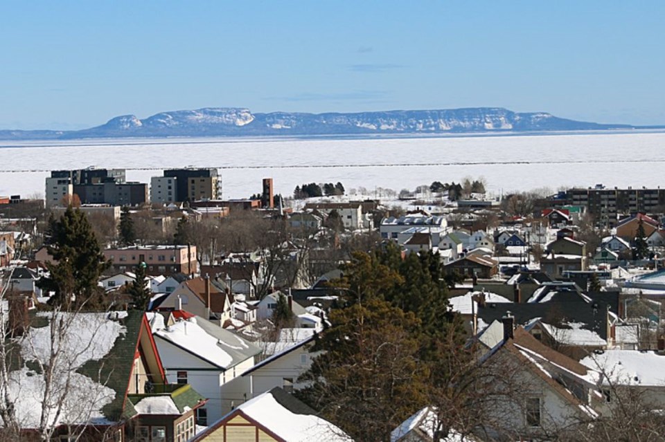
THUNDER BAY – After a week of frigid mornings, warmer temperatures are on the city’s horizon.
Starting on Sunday, long-term weather forecasts for Thunder Bay are projecting daytime high temperatures above freezing for nearly all of the next two weeks.
That comes as a welcome break from morning temperatures well below – 20C, which have been far colder than seasonal overnight low temperatures expected to be around – 13C.
But it might not be time to start celebrating spring’s arrival, warns Environment Canada meteorologist Geoff Coulson.
“Unfortunately as I think most folks know, March is still a winter month in Thunder Bay and April can be as well,” he said on Wednesday.
“Certainly there will be an opportunity to enjoy some milder than normal weather as we get into next week but there will likely be a return to more seasonal conditions as we get further on into the month of March and the potential for some real messy weather.”
Coulson said normal daytime high temperatures for Thunder Bay in the first week of March are around – 2C. So far this week, the daytime high temperatures have been in the range of – 10C.
The warmup will begin on the weekend, with Environment Canada calling for a daytime high of – 1C on Saturday, followed by a high of 4C on Sunday and 5C on Monday and Tuesday.
The change in temperatures can be attributed to a shift in low level wind direction from the north and northwest to the southwest.
“That’s what we’re looking for as we go through the next number of days. A shift in that wind direction and wind flow coming around more to the southwest and allowing those temperatures to bump not to not only seasonal values but a number of degrees milder than seasonal,” Coulson said.
While many residents, such as skiers participating in Saturday’s Sleeping Giant Loppet, will enjoy the warmer temperatures, the warm up and freeze down can be problematic.
The freeze and thaw cycle can be damaging to infrastructure.
“This would be the time of year where that is going to be a concern,” Coulson said.
“Getting well above freezing during the daylight hours in the coming weeks, there’s opportunity for water to melt and get into the cracks in roadways and then those temperatures overnight dropping well below freezing, allowing the water to freeze in those fissures in the roadways. As water freezes, it expands so this idea of frost heaves and cracks in the roadways becoming worse are certainly a challenge.”
