THUNDER BAY – Saildrone, a California based company that provides data solutions for maritime security, ocean mapping, and ocean data, launched two Saildrone Explorer uncrewed surface vehicles Tuesday on a large-scale mission in Lake Superior to support the sustainable management of the $7 billion per year Great Lakes fishery.
The multi-partner, 25-day mission led by the US Geological Survey (USGS) brings together state, federal, tribal, Canadian provincial, private, and non-profit partners to enhance fishery assessment methods.
The Great Lakes are one of the most ecologically diverse ecosystems on Earth, home to nearly 139 native species of fish and commercial, recreational, and tribal fisheries support more than 75,000 jobs.
The USGS says that the estimation of prey fish abundances in the Great Lakes is a central part of its annual commitments to fisheries managers throughout the Great Lakes.
“The USGS strives to continuously enhance the quality of our science by integrating cutting-edge technologies into our research,” said Peter Esselman, a USGS biologist and the project lead. “The data collected during this Lake Superior mission will help Great Lakes fishery managers make the most informed decisions possible to sustain the fishery.”
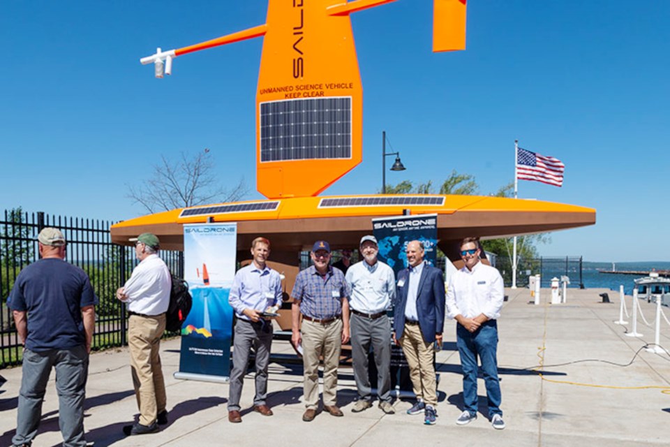
The 23-foot Saildrone Explorers carry sensors to measure fish distribution and density data around the clock, have a zero operational carbon footprint, operate virtually silently, and will enable USGS scientists to better understand the effects of large vessel engine noise on fish sampling and catchability.
Saildrone says they will also provide supplemental data on the abundance of rainbow smelt, an invasive prey fish species that has become thoroughly integrated into Great Lakes food webs.
The Saildrone Explorers have performed numerous fish stock assessments in the Arctic, along the US West Coast, and the North Sea.
“Saildrone uncrewed surface vehicles (USVs) have already sailed 800,000 nautical miles and spent 18,000 days at sea—and counting—collecting data to serve a wide range of research objectives, from seafloor mapping and maritime security to climate science and sustainable fisheries management,” said Matt Womble, Saildrone director of ocean data programs.
"Sustainable fisheries management is imperative not only for the long-term health of the fisheries but for the Great Lakes ecosystem as a whole.”
This is the second year of a multi-year mission in the Great Lakes. In Summer 2021, two Saildrone USVs were deployed from Holland, Michigan which sailed up Lake Michigan to the Straits of Mackinac and then down Lake Huron before being recovered in Port Huron.
The SVs move at just a couple nautical miles per hour, and boaters are asked to keep clear from them.
