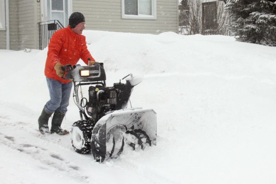
THUNDER BAY -- A snowbrush will come in handy to start the next work week.
That’s the advice from Environment Canada warning preparedness meteorologist Peter Kimbal, who said the city’s first snowfall is likely only a few days away.
“The first snowfall is expected Sunday night with not too much, maybe a few centimetres of accumulation, not a very significant amount but nevertheless it will be white overnight and into Monday morning,” Kimbal said in a telephone interview on Friday.
That anticipated brief dusting will be replaced with cold temperatures, with the weather service forecasting below average temperatures with lows in the -15C range.
That’s colder than the seasonal average of around -7C but not as bad as the record lows, which are around the -20C mark.
Kimbal advises residents to start getting used to those temperatures.
“That cold weather will remain next week and probably ending by next weekend,” he said. “Beyond that it gets a bit dicey about what to expect but indications are continuing below normal temperatures into mid-December.”
While the expected cold weather will likely come as a disappointment to many city residents, Kimbal pointed out that Thunder Bay has been lucky when it comes to snow.
Areas of Northeastern Ontario were hit particularly hard earlier this week with Sault Ste. Marie, Timmins, Kapuskasing receiving significant snowfalls.
Parts of Northwestern Ontario, such as Sioux Lookout and Kenora, have accumulated snow as well.
