THUNDER BAY -- Less than 24 hours after being in a snowfall warning, the city is experiencing the wrath of another winter element.
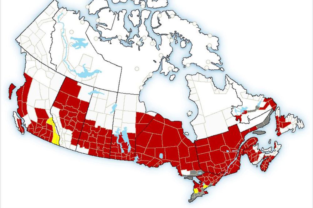
Environment Canada has issued an extreme cold warning for Thunder Bay, as well as most of Northwestern Ontario as cold air and strong northern winds create frigid conditions throughout Sunday.
The deep freeze is the result of “bitterly cold arctic air mass combined with winds of 10 to 20 km/h will produce extremely cold wind chill values,” Environment Canada said in the warning.
The national weather service is forecasting a Sunday high temperature of -22 C with the wind chill feeling like –36 C.
That is only expected to get colder heading into the evening with wind chill values expected to be around -44 C.
People are warned that uncovered skin can freeze in less than 10 minutes in those temperatures.
Those who venture outside are advised to wear layers and to avoid wet clothing.
The city cancelled their scheduled Winter Funday activity at Prince Arthur’s Landing on Sunday due to the severe cold.
Much of Ontario, as well as the southern portions of Manitoba and Saskatchewan are also under the cold warning. Environment Canada has issued the warning in at least part of all 10 provinces.