THUNDER BAY -- On the heels of a January that was noteworthy for big fluctuations in temperature, weather forecasters are warning Thunder Bay residents to expect another swing in a not-so-pleasant direction.
Environment Canada meteorologist Jeff Coulson says long-range forecast models for the region are not encouraging.
"Looking at February, the big story going forward, I think, is models pointing to colder-than-normal weather conditions expected to be present for a good part of the month," Coulson said in an interview Wednesday.
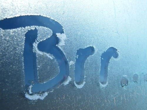
The dip into a deep freeze will begin almost immediately, with daytime highs and overnight lows falling well below normal from this Thursday through at least Tuesday of next week.
Coulson said Thunder Bay's normal daily high this time of year is around -7C, but over the next six days the daily high will range between -14C and -20C.
Overnight lows over that period should bottom out at -30C on Saturday, almost 10 degrees below the long-term average.
Referring to that pattern, Coulson said "I think that's fairly indicative of what we could see more often during the month."
On the surface, the statistics for January, he said, show it finished with an overall average temperature and snowfall total close to normal, but that doesn't tell the complete story.
"When we look at the actual breakdown of the month, day by day, it's really the variability, intensive differences from one week to the next, in some cases from one day to the next."
Coulson noted that Thunder Bay, in fact, "broke a record for the mildest Jan. 9 ever recorded at the airport, 5C. compared with the previous record of 3.8C."
That came just a few days before the coldest day of the month, with the thermometer registering -31.7C on Jan. 14.
