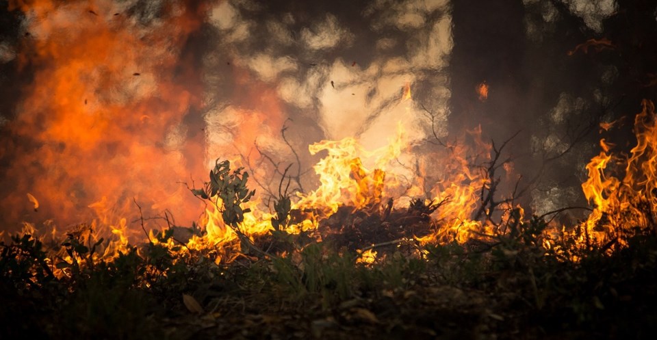
Outdoor burning restrictions are in effect across a wide swathe of Northwestern Ontario, with forest fire hazard high to extreme in western parts of the region.
A restricted fire zone is in effect as of Wednesday in the Kenora, Fort Frances, and Dryden districts, as well as the southern portions of the Sioux Lookout and Red Lake districts.
Outdoor fires are banned in the restricted fire zone, including those using outdoor fire grates, fire places, or fire pits.
Portable gas stoves may be used but must be handled with extreme care, said the Ministry of Northern Development, Mines, Natural Resources and Forestry. More details are available online.
Maps showing the restricted areas can also be found at the Ministry of Northern Development, Mines, Natural Resources and Forestry’s website.
The coming days are expected to bring little precipitation in the area, said information officer Jonathan Scott with Aviation, Forest Fire and Emergency Services.
There were 41 active fires in the northwest region as of Tuesday, according to the AFFES.
Of those, 11 were listed as not under control, 2 as being held, 12 as being observed and 16 as under control.
Twenty-one fire crews were fighting Fort Frances 47, a 407-hectare fire burning near Northwest Bay in Naicatchewenin First Nation, just east of Lake Despair. It is listed as not under control.
Some residents of the First Nation had voluntarily evacuated due to air quality issues, AFFES reported.
Fire crews, including some from Alberta, were making good progress on the fire, said Scott. Firefighters had established hose line around the fire as of Tuesday night, he reported.
An implementation order is in effect for the fire area, restricting travel on Northwest Bay Road outside of Naicatchewenin First Nation.
A map of the affected area is available online.
Another large fire, Sioux Lookout 17, was being battled by 23 fire crews and heavy equipment and bucketing helicopters about 90 kilometres north of Sioux Lookout.
The 1,412-hectare fire remains not under control, but was less active Tuesday, AFFES said.
Two new fires were confirmed in the region Tuesday.
One near Jojo Lake, about 13 kilometres east of Armstrong, was declared out at 0.1 hectares. Another, Dryden 52, is being observed at 0.1 hectares on an island on Heathwalt Lake, 30 kilometres north of Ignace.
