Last year’s warmer weather spoiled Thunder Bay residents so an April snowfall isn’t out of the ordinary, says the City of Thunder Bay’s manager of roads.
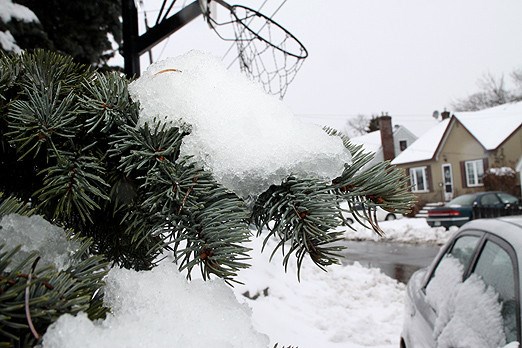
A snowfall of about five centimetres blanketed the city on Sunday and continued on Monday. The recent spring-like temperatures changed quickly back to winter-like conditions but roads manager Brad Adams said that was expected.
Traditionally, Thunder Bay receives a snowfall right around the end of March and beginning of April.
Last year’s milder weather was abnormal but an April snowfall is far more common for the city, he said. Adams didn’t know offhand how the recent snowfall would affect the operating budget but the city was prepared for it.
"We were definitely (spoiled) last year, we were sweeping at this time of year," Adams said. "We had a very early spring and a mild winter so we were kind of spoiled. It’s a normal winter this year compared to last year."
The mild winter gave the city some leftover money that went into the winter reserve fund, he said. The city budgeted $3.5 million for snowploughing, which includes sidewalks and roads. Adams said this year’s budget is less than last year because they would rely more on the reserve funds.
But the snow isn’t expected to last long.
Geoff Coulson, meteorologist with Environment Canada, said Thunder Bay’s weather will soon change to rain for a few hours before the clouds clear completely. There’s soon to be a silver lining with temperatures expected to rise into the double digits over the weekend, he said.
Snow to rain isn’t out of the ordinary for the city as this time of the year is a transition period for Northwestern Ontario, he said.
"We often see these combination events… at this time of year when we see that kind of battle of the two different types of air masses," Coulson said. "The normal high for this time of year is about 7 C. But we haven’t closed the book on winter just yet. There’s the possibility later on in the month to see that arctic air coming down and maybe giving us a mix of rain and snow type events."
But for the next seven to eight days, residents should expect a break from the cold with plenty of sunshine, he added.
