THUNDER BAY — The hard work and dedication of a small non-profit group holds the promise of a big payoff for residents of the Thunder Bay region who enjoy hiking through the forest.
Northwestern Ontario Recreational Trails Association hopes to develop nearly 500 kilometres of trails between Nipigon and Atikokan along old logging roads and other previously-used routes wherever possible.
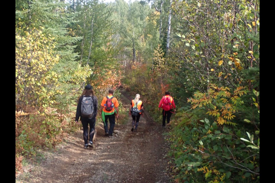
The trails will be exclusively for non-motorized uses, including hiking, mountain biking, horseback riding, snowshoeing, cross-country skiing and dogsledding.
Len Day, the group's president and lifelong hiker, is passionate about the project.
He was inspired by the Superior Hiking Trail, a 500-kilometre route in northeastern Minnesota.
"I started thinking about why we didn't have such a trail in our area. The Trans-Canada Trail does have a route here but it's mostly-water-based. As I looked more and more into it, it was looking more and more feasible," Day said.
In 2021, NWORTA was incorporated in Ontario as a non-profit organization with a five-member board representing an assortment of user groups.
They immediately began work on a five-year, five-phase plan that starts with a a 60-kilometre route between Kakabeka Falls and Shabaqua.
Other routes will link Kakabeka Falls to Thunder Bay, Kakabeka to the Ontario/Minnesota border, Thunder Bay to Red Rock, and Atikokan to Shabaqua.
The link from Kakabeka to Shabaqua has been essentially mapped out and is primarily on Crown land, which requires approval from the Ministry of Natural Resources and Forestry.
Day said that closer to Kakabeka Falls, it would cross private property and use some township roads and property in Conmee and Oliver Paipoonge.
"We're slowly but surely getting those ducks in a row. The townships are supportive in principle. We're getting closer to where we can make a proposal for a final trail route."
He said he hopes the group can get out with hand tools and establish at least a good portion of the route sometime this spring.
The group already has a list of volunteers interested in helping to clear away the brush that's grown on abandoned logging roads.
Day believes hikers will enjoy the scenery they encounter between Kakabeka and Shabaqua.
"As you get farther west, you start getting into some pretty high ground. Not too far west, you are actually at a higher elevation than Mount McKay, and you can get up onto some pretty high plateaus and have a decent look around. It's pretty scenic."
The group proposes to establish campsites at five locations along the route, all within 10 to 16 kilometres of each other.
Most campsites will be accessible by vehicle and will also have water access.
The trail association has already sketched out a possible route between Thunder Bay and Kakabeka, and is now working on plotting the route from Kakabeka to Pigeon River.
Day is also scheduled to make a deputation to Shuniah council Tuesday night regarding a trail linking Thunder Bay, Sleeping Giant Provincial Park, Ouimet Canyon and the Nipigon-Red Rock area.
He expects it will take five years to complete the entire trail network.
More information about the plan is available on the trail association's website.
