THUNDER BAY — This has not been the best day for doing yard work or undertaking any other form of strenuous activity outdoors.
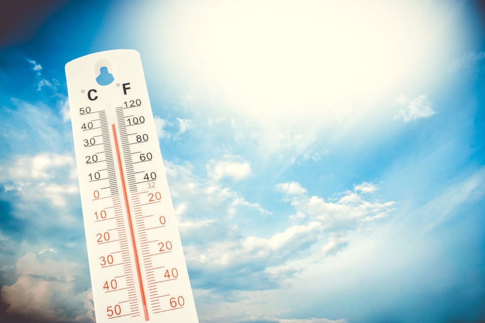
The humidex – a measurement of the combined effects of warm temperatures and humidity on the human body – reached 42 C by 2 p.m. Monday, with the potential to go even higher.
That's much worse than what Environment Canada had predicted earlier in the day.
Meteorologist Jeff Coulson said a quick check of records indicates that the previous highest humidex readings this summer were only in the upper 30s.
Coulson said the region between Thunder Bay and Upsala was experiencing a short-lived but very uncomfortable spell of steamy weather.
"We were expecting humid conditions to the west of Lake Superior, but it looks like some of the even more humid air that was down in central Minnesota worked its way to the northeast during the day."
Coulson said more seasonable conditions would return by Tuesday, with a high of 23 degrees and much lower humidity levels.
In the interval, though, a severe thunderstorm watch was issued Monday afternoon for the Thunder Bay region.
Environment Canada said there was the potential for nickel-to-loonie-sized hail.
