THUNDER BAY — The reprieve from typical winter weather that city residents enjoyed in December has definitely come to an end.
"We're getting into a more active pattern now. We're going to see what's more typical for this time of year," said Environment Canada meteorologist Peter Kimbell.
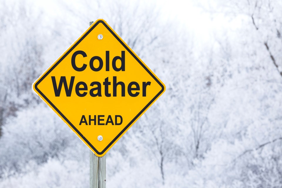
There's more snow in the forecast over the next couple of days, and temperatures will plunge below normal by Friday.
"We're getting into the deep freeze. You'll be getting some pretty significantly cold temperatures," Kimbell warned.
Overnight lows will dip into the minus twenties Friday and stay through to the weekend, at least, when daytime highs will be six or seven degrees below average for this time of year.
Referring to a line from How The Grinch Stole Christmas that says "Christmas came just the same," Kimbell said: "In this case, winter came just the same. It's just a little bit late."
The weekend snowfall dropped 12 centimetres of snow at an area monitoring station, and Environment Canada is predicting a maximum of 14 more centimetres from a system that will arrive in Thunder Bay on Monday night.
Accumulations could be somewhat less than that, but higher amounts will likely be generated if wind that's expected to come directly from the east causes enough lake-effect snow tonight into Tuesday morning.
