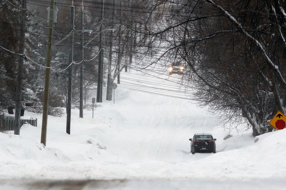
THUNDER BAY – Odds of a white Christmas are looking up, as areas across northwestern Ontario faced snowfall and winter storm warnings Tuesday evening.
Flurries were expected to blanket some parts of the region in up to 35 centimetres of snow, with total accumulations of 50 centimetres possible locally along the North Shore and elsewhere.
Environment Canada issued a snowfall warning for the City of Thunder Bay, where it expected snow beginning in the late afternoon Tuesday to become heavy at times during the evening, with total amounts of 10 to 20 centimetres expected by Thursday morning.
The agency also expected brisk northerly winds gusting 40 to 60 km/h Wednesday.
“Snow may mix with rain along the shoreline of Lake Superior on Wednesday morning and into early Wednesday afternoon as temperatures briefly rise above the freezing mark,” it noted. “As a result, lesser snowfall accumulations are anticipated near Lake Superior.”
A similar warning was issued for the Atikokan area.
Dryden and Ignace, meanwhile, can expect 15 to 20 centimetres by Wednesday evening, and winds gusting 40 to 50 km/h.
Driving conditions in all areas are expected to worsen significantly Tuesday night, with visibility possibly reduced by snow that could be heavy at times.
Conditions will be more severe along the North Shore, where communities including Marathon, Schreiber, and Nipigon can expect a significant winter storm beginning Tuesday evening through Wednesday, according to Environment Canada.
Those areas can expect 25 to 35 centimetres of snow by Thursday afternoon, with total accumulations of up to 50 centimetres locally possible.
Updated weather warnings can be found on the Environment Canada website.
