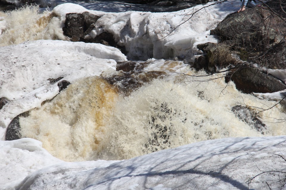
THUNDER BAY — Homeowners in the Thunder Bay area will need to keep a closer eye out for leaks into their basements as a spell of unseasonably mild weather sets in this week.
Environment Canada warns that temperatures in the city will rise to as high as 9 degrees Celsius above normal for this time of year, from Wednesday through Sunday.
"We're going to be well above average by Wednesday. Up to 9 C, then 11 on Thursday, then 7, 10, and 9, so right through the weekend much warmer than usual," said meteorologist Peter Kimbell.
The daily maximum typically reaches only 2 C around the official arrival of spring at the Lakehead.
Kimbell said one piece of good news for residents worried about flooding is that, unlike last week, no rain is expected to accompany the thaw.
He noted that overnight temperatures will also dip below zero, minimizing runoff during the night.
Environment Canada temperature records show there is potential to see a new all-time maximum for March 21 established in Thunder Bay.
According to Kimbell, below-normal temperatures are likely to return next week.
