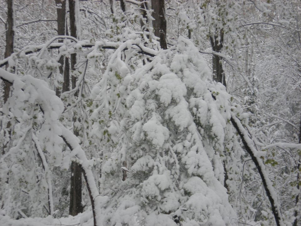
THUNDER BAY — A snowier-than-usual February has helped pile snow to depths not typically seen in the Thunder Bay area at this time of year.
The Lakehead Region Conservation Authority already measured depths between 60 and 80 centimetres at three locations around the city about one-and-a-half weeks ago.
That was 52 per cent greater than the long-term-average depth, and Thunder Bay has received additional accumulations since the readings were taken.
Since 1974, the LRCA has tracked snow depth at Hazelwood Lake, a location near McVicar Creek in the city, and along Vibert Road in Oliver Paipoonge.
According to CAO Tammy Cook, the historic average reading for mid-February is only 37 to 54 centimetres.
Environment Canada's measuring stick shows an even larger disparity between current and long-term snow depths. At its monitoring station in the city, there is 56 centimetres of snow on the ground, 80 per cent greater than the long-term-average of 31 centimetres.
Cook said the water content of the snow is also about 50 per cent above normal for this time of year.
She said it's too soon to determine how the unusually deep snow may impact the risk of flooding during the spring thaw.
"Depending on what happens, if we have a fast melt, if we have rain on frozen ground, plus melting snow...It's really too early to tell. We will continue to monitor conditions and issue flood messaging as warranted," Cook said.
