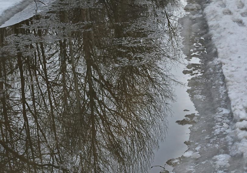
THUNDER BAY — City residents flocked to walking trails, and car washes did a booming business on the weekend, as Thunder Bay enjoyed record-breaking temperatures on both Saturday and Sunday.
Environment Canada reported that a 115-year-old record was broken on Saturday when a temperature of 5.8 C was recorded at Thunder Bay Airport.
The old record of 3.9 C was established in 1908.
Sunday's high of 5.7 C broke the 88-year old record of 5.0 C set in 1935.
By late Monday afternoon, the record high of 4 C for Feb. 13 at Thunder Bay Airport was at least equalled.
Meteorologist Geoff Coulson noted that records were set in numerous other Northwestern Ontario communities on the weekend, "so this whole trend of the last few days has been quite abnormal" for much of the region.
Although the weather will remain mild until mid-week, a significant system originating in Colorado is expected to bring snow into the region late Tuesday through Wednesday.
Coulson said the system will initially bring a mix of rain and snow to the city, but by Tuesday night it will shift exclusively to snow.
"It's a little early for accumulation amounts, but it does look like Thunder Bay might get 10 to 15 centimetres by late Wednesday, and farther inland it might be up to 25 centimetres or a little more."
