Environment Canada winter storm warning for the City of Thunder Bay and surrounding region:
Hazardous winter conditions are expected.
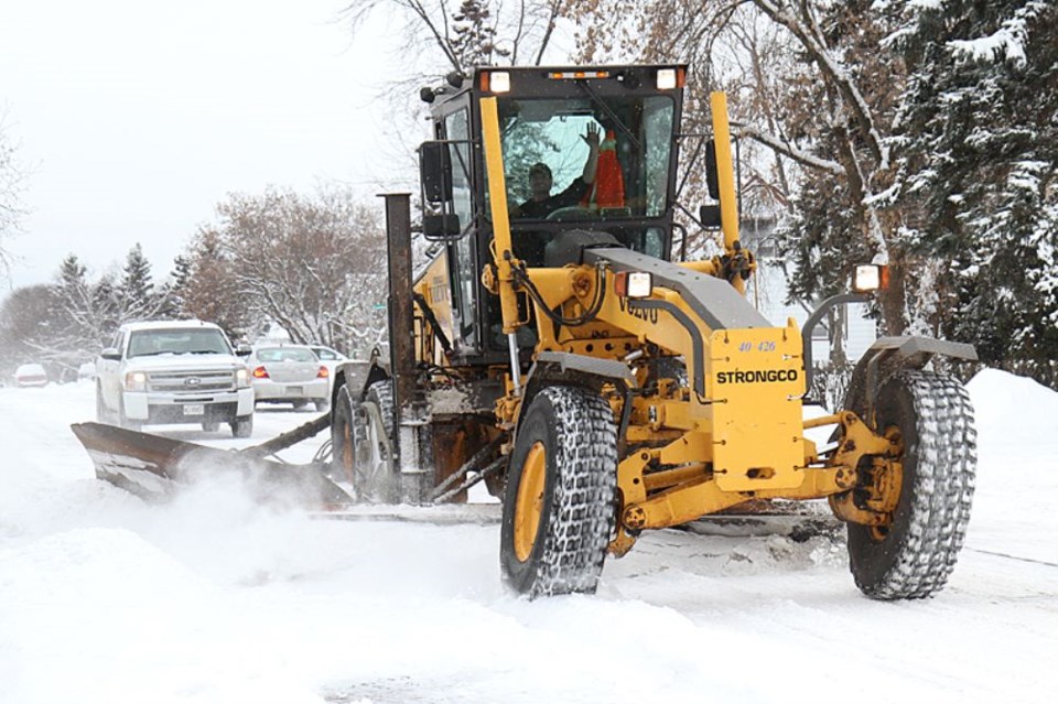
A winter storm will affect the regions from this evening until midday Monday.
A band of heavy snow will move into the regions this evening. The snow will likely mix with ice pellets or freezing rain before changing to freezing drizzle or flurries Monday morning.
Snow and ice pellet accumulations in the 10 to 25 cm range are expected with the heaviest snow falling near midnight.
Hazardous travel conditions will develop this evening in heavy snowfall and blowing snow. Wind gusts to 75 kilometres per hour are possible beginning this afternoon. Some improvement is expected Monday afternoon as the precipitation will become much lighter, and the blowing snow will have ended.
The storm is due to a Colorado low tracking northeastward and expected to cross northern Ontario on a Fort Frances to Moosonee path Monday.
Consider postponing non-essential travel until conditions improve. Surfaces such as highways, roads, walkways and parking lots may become difficult to navigate due to accumulating snow. Rapidly accumulating snow could make travel difficult over some locations. If visibility is reduced while driving, turn on your lights and maintain a safe following distance. Public Safety Canada encourages everyone to make an emergency plan and get an emergency kit with drinking water, food, medicine, a first-aid kit and a flashlight. For information on emergency plans and kits go to http://www.getprepared.gc.ca/
Please continue to monitor alerts and forecasts issued by Environment Canada. To report severe weather, send an email to [email protected] or tweet reports to #ONStorm.
