THUNDER BAY – Environment Canada has issued weather statements blanketing a large portion of Northern Ontario, with a mix of heavy snow, ice pellets, and freezing rain expected in the region.
For Thunder Bay and surrounding areas, heavy snow is possible Wednesday night into Thursday, with 10 to 15 centimetres expected.
Snowfall will be heavier away from the shores of Lake Superior, Environment Canada noted in weather statements issued Tuesday afternoon.
“Some brief mixing with ice pellets will be possible particularly for areas near Lake Superior Wednesday night,” the agency projected.
A snowfall warning may be required for portions of the area, and drivers are advised to check the latest forecasts and warnings and alerts from Environment Canada.
Further east in the Marathon-Schreiber area, the agency warned of a “messy mix of wintry precipitation including a possible period of freezing rain.”
Precipitation is forecast to begin as showers Wednesday morning, but sharply falling temperatures are expected to result in snow and ice pellets and freezing rain by the evening into the night, with combined amounts of 10 to 15 cm possible.
That will impact travel and could result in power outages, Environment Canada said.
Precipitation is forecast to come to an end on Thursday.
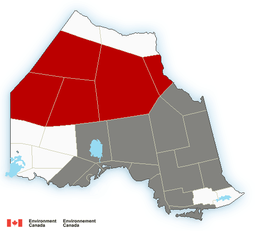
In the Far North, a low pressure system tracking northeastwards will bring sometimes heavy snow.
Total snowfall accumulations ranging from 15 to 30 cm are expected in some areas, expected to taper off from west to east Wednesday afternoon.
Strong northeast winds gusting to 50 or 60 km/h are expected. Heavy snow combined with strong gusts will lead to periods of reduced visibility.
