THUNDER BAY – The city’s roads manager says it’s all-hands-on-deck as they work to clear streets and sidewalks following an early spring snowstorm.
Ian Spoljaric on Tuesday said the continued snow means plenty of work ahead for his crews.
“The snow hasn’t really let up,” Spoljaric said.
“It continued throughout the night and into the morning and it’s expected to go all day as well and taper off some time tonight. We have up to 60 staff and 60 pieces of equipment out on the roads, currently. They’ve been out since 2 a.m., plowing the arterial collector and cross roads.”
Spoljaric said those streets will continue to get priority throughout the day on Tuesday, with residential streets to follow.
He urged the public to remain patient while the work is done.
“Usually, the snow stops and we can kind of finish with (the arterial collectors) and move on to residential streets. But with the continued snow we have to re-plow multiple times to make sure the emergency routes are safe for the travelling public,” Spoljaric said.
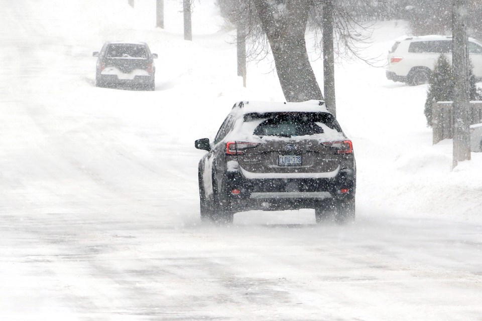
According to Environment Canada, Thunder Bay remains under a winter storm warning, with snowfall amounts still expected to reach between 25 and 50 centimetres.
Trudy Kidd, a warning preparedness meteorologist with the government weather agency, said the system didn’t have the most recent totals, but noted the latest data, at the Thunder Bay Airport, shows 9.1 centimetres of snow had fallen on the city. Another airport in the region had reported 13.1 centimetres.
However, Kidd said there was an unconfirmed report of 30 centimetres of snow recorded just a few kilometres from the Thunder Bay Airport.
“We know there have been some pretty hefty snowfalls in Northwestern Ontario. Upsala and Atikokan, just to the west, have reports of 15 centimetres as well, and there is more on the way,” Kidd said.
“It’s starting to taper for some areas, (but) now there are some pretty intense snowfall rates that are expected to occur today. We’re just seeing some bands where the snowfall rates are bringing anywhere from one to three centimetres per hour.”
Kidd added in Thunder Bay, residents can expect anywhere from five to 10 more centimetres of snow.
“That’s for today,” she said. “Tonight, that’s when things continue to taper and we can expect maybe another two centimetres or so. Wednesday we’re still expecting snow. It’s kind of like a guest that doesn’t want to leave.”
The city won’t see big snowfall amounts on Wednesday.
“Probably just a trace, or a little bit.”
Temperatures are expected to rise above freezing by Sunday.
