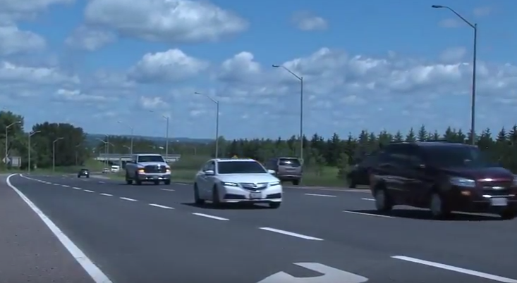
THUNDER BAY – Residents will have a chance to weigh in as Ontario develops long-term plans to expand a section of Highway 61 running south from the Thunder Bay Airport.
While implementation of the Ontario Ministry of Transportation plan is highly uncertain, it promises a separated highway from the airport south to Chippewa Road, as well as other improvements that could drastically change intersections at the airport and Broadway Avenue.
Thunder Bay’s city council heard a presentation on those plans Monday from Kevin Saunders of the MTO and Steve Taylor of BT Engineering.
While the plan comes without a budget commitment or construction timelines, Saunders told council it would help guide city planning for things like future subdivisions.
“In the end, the ministry will have a plan [and] it’ll be something the municipality can build on, knowing what the ministry’s long-range plan is,” he said.
Neebing Ward councillor Cody Fraser got no specifics in response to his question of whether he’d be “grey and bald” by the time shovels were actually in the ground for the project.
The MTO’s priority is to complete the long-term plan so it’s ready “when the government says go,” Saunders said.
The improvements are “not currently scheduled for construction,” according to the MTO’s project website.
The process will define long-term improvement plans for a segments of the highway running for 9.2 kilometres from the airport to half a kilometre south of Loch Lomond Road.
The section is broken up into two segments: a widened and separated freeway with higher speed limits in the northern section, from the airport south to Chippewa Road, and a rural highway design with lower speed limits in the southern section, south from Chippewa Road.
The MTO considers the stretch a “major link,” seeing average daily traffic of around 24,000 vehicles per day at Arthur Street, and around 9,000 per day south of Loch Lomond Road, and serving as the primary access to the Pigeon River border crossing.
The planning project began in 2017, but was paused in 2018 after a handful of meetings with stakeholders including the City of Thunder Bay, Fort William First Nation, Thunder Bay Airport Authority, railways, and two community cafés.
The process was relaunched earlier this year, with a longlist of design concepts identified for consideration.
Three signalized intersections would be rebuilt under the plan, with several potential design options listed for each.
At the highway’s intersection with Neebing Avenue, at the Thunder Bay Airport, the MTO will contemplate designs including roundabout controls and a rotary interchange, Taylor told city council.
At the Broadway Avenue intersection, the MTO will consider eliminating the interchange entirely, instead extending the local road system to connect Neebing Avenue with Chippewa Road, providing not only a secondary access to Fort William First Nation, but also what Taylor said would be better access for the Resolute mill.
The idea came out of public consultations in 2018, Saunders said, while cautioning it was far from a done deal.
“We haven’t evaluated [or] selected anything, but it’s on the table based on what we’ve heard from the public,” he said.
The interchange at Chippewa Road is likely to maintain a similar design, he noted.
In the southern, more rural section, both conventional designs and “more innovative” roundabout control are under consideration at intersections with Loch Lomond Road and Mountain Road.
More details on the longlist of design alternatives will be offered on the MTO’s project website as of Oct. 6.
A live presentation on the plan will be held virtually on Tuesday, Oct. 12. Participants are asked to register before that date by email. More information is available online.
It’s the first of three planned PICs to share information and gather feedback on ministry plans for the section of Highway 61.
The second, tentatively scheduled for summer of 2022, will evaluate the alternatives based on studies and public input.
The third, set for spring of 2023, will present a final recommended plan with a list of mitigation measures.
A similar planning process for the Thunder Bay Expressway has seen an EA completed, but with similar uncertainty around the timing of implementation.
